
Search
Search Results
Image
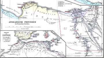
Map of Roman Africa
Nothern Africa under Roman rule. From H.Kiepert (1879), Historischer Schulatlas.
Image
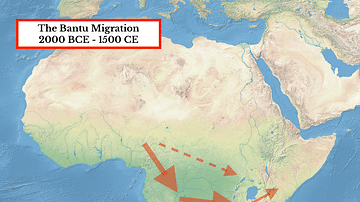
The Bantu Migration in Africa
A map illustrating the general route of the Bantu migration which occurred in various stages from the second millennium BCE to c. 1500 CE.
Video
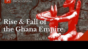
The Rise and Fall of the Ghana Empire of West Africa
Did you know that the rulers of the Ghana Empire were so rich they were known as Kings of Gold? This video is all about the rise and fall of the great Ghana Empire, once known as the land of gold. The Ghana Empire flourished in West Africa...
Article
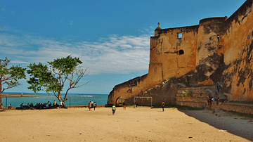
The Portuguese in East Africa
The Portuguese first took an interest in East Africa from the beginning of the 16th century as their empire spread eastwards across the Indian Ocean. Trade in the region was already well-established and carried out by Africans, Indians, and...
Article
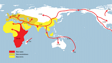
Early Human Migration
Disregarding the extremely inhospitable spots even the most stubborn of us have enough common sense to avoid, humans have managed to cover an extraordinary amount of territory on this earth. Go back 200,000 years, however, and Homo sapiens...
Video
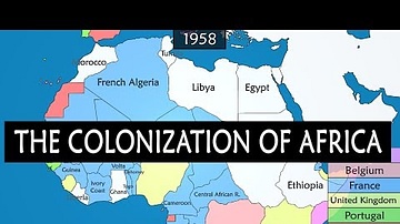
Colonization of Africa - Summary on a Map
Let's look at a map and see a summary of the different phases of exploration, conquests and colonization of African territories by European powers, beginning from the mid-15th century. Chapter 00:00 Trade routes 00:37 Portuguese rule...
Article
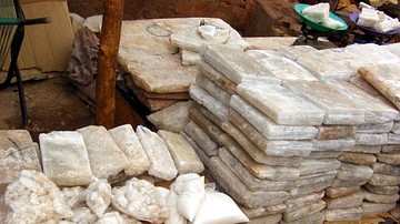
The Salt Trade of Ancient West Africa
Salt from the Sahara desert was one of the major trade goods of ancient West Africa where very little naturally occurring deposits of the mineral could be found. Transported via camel caravans and by boat along such rivers as the Niger and...
Image
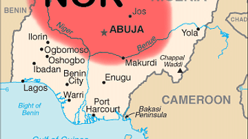
Map of Nok Culture Territory
A map indicating the approximate territory inhabited by the people of West Africa's Nok Culture (flourished 500 BCE - 200 CE) in modern-day Nigeria.
Image
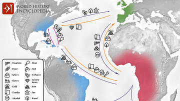
Transatlantic Triangular Trade Map
Map showing the flow of goods and enslaved people across the Atlantic between Europe, Africa and America in the transatlantic triangular trade which the European colonial powers operated from the 16th to the 19th centuries CE. This triangular...
Image
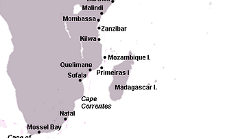
Swahili Coast Map
A map of the east coast of Africa showing, amongst others, the key trade ports of the Swahili Coast during the medieval period, 12th to 15th century CE.