
Illustration
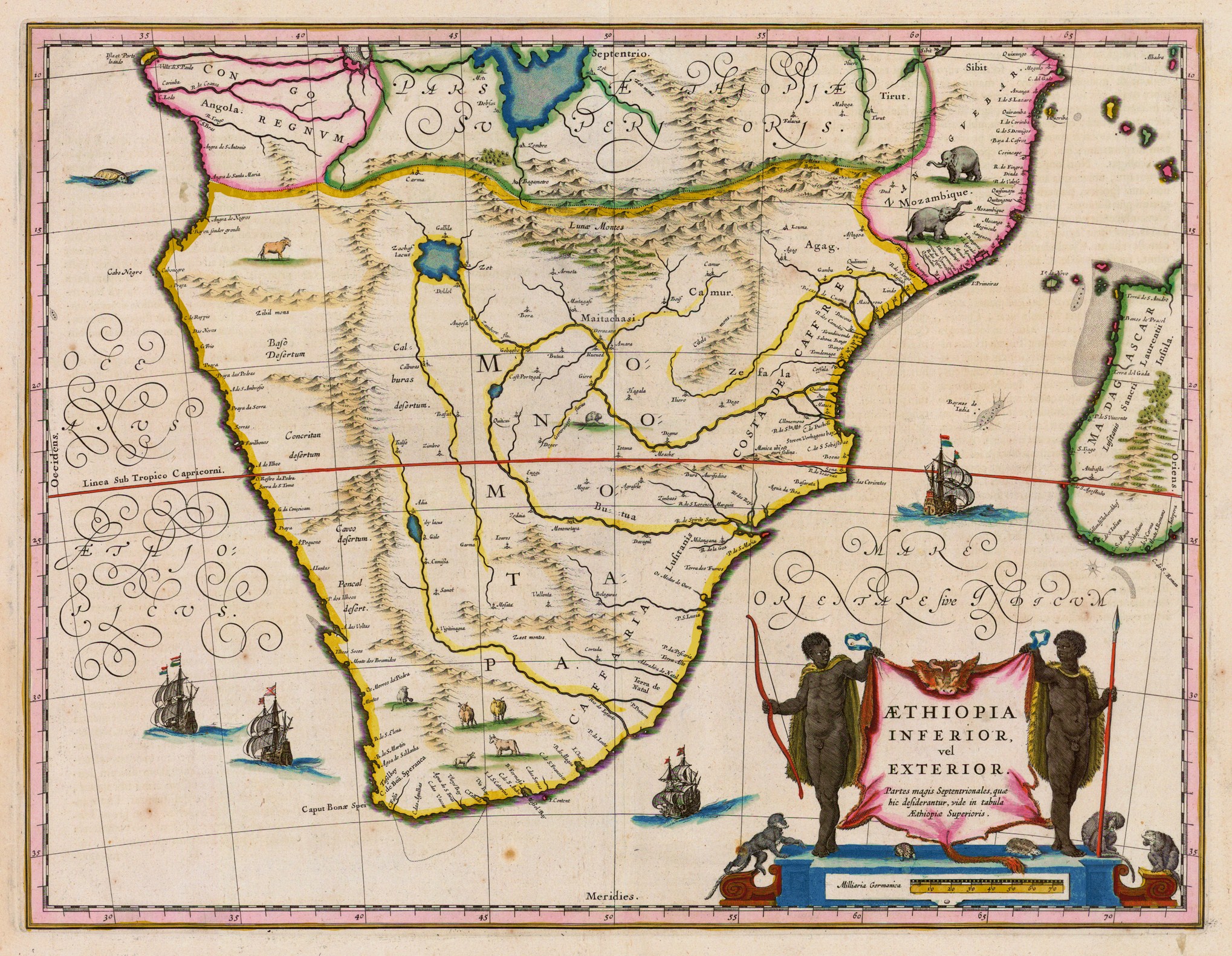
A 1635 CE map of southern Africa by Willem Janszoon Blaeu. It shows the kingdom of Monomotapa (aka Mutapa), although it inaccurately shows the kingdom's spread over a far larger area than it actually controlled around the Zambezi River.
License & Copyright
 Based on Wikipedia content that has been reviewed, edited, and republished.
Original image by Willem Janszoon Blaeu. Uploaded by Mark Cartwright, published on 18 March 2019. The copyright holder has published this content under the following license: Public Domain. This item is in the public domain, and can be used, copied, and modified without any restrictions. Please note that content linked from this page may have different licensing terms.
Based on Wikipedia content that has been reviewed, edited, and republished.
Original image by Willem Janszoon Blaeu. Uploaded by Mark Cartwright, published on 18 March 2019. The copyright holder has published this content under the following license: Public Domain. This item is in the public domain, and can be used, copied, and modified without any restrictions. Please note that content linked from this page may have different licensing terms.
Related Images
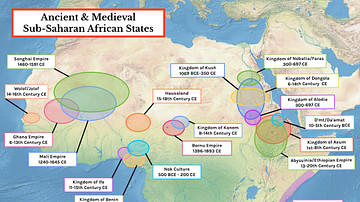
Map of Ancient & Medieval Sub-Saharan African States

Shona Leopard Skin Apron
Shona Wooden Headrest
Babylonian Map of the World
Anglo-Saxon Map of the World
Achaemenid Empire Map
Cite This Work
APA Style
Blaeu, W. J. (2019, March 18). Map of Mutapa. World History Encyclopedia. Retrieved from https://www.worldhistory.org/image/10251/map-of-mutapa/
Chicago Style
Blaeu, Willem Janszoon. "Map of Mutapa." World History Encyclopedia. Last modified March 18, 2019. https://www.worldhistory.org/image/10251/map-of-mutapa/.
MLA Style
Blaeu, Willem Janszoon. "Map of Mutapa." World History Encyclopedia. World History Encyclopedia, 18 Mar 2019. Web. 19 Apr 2024.