
Illustration
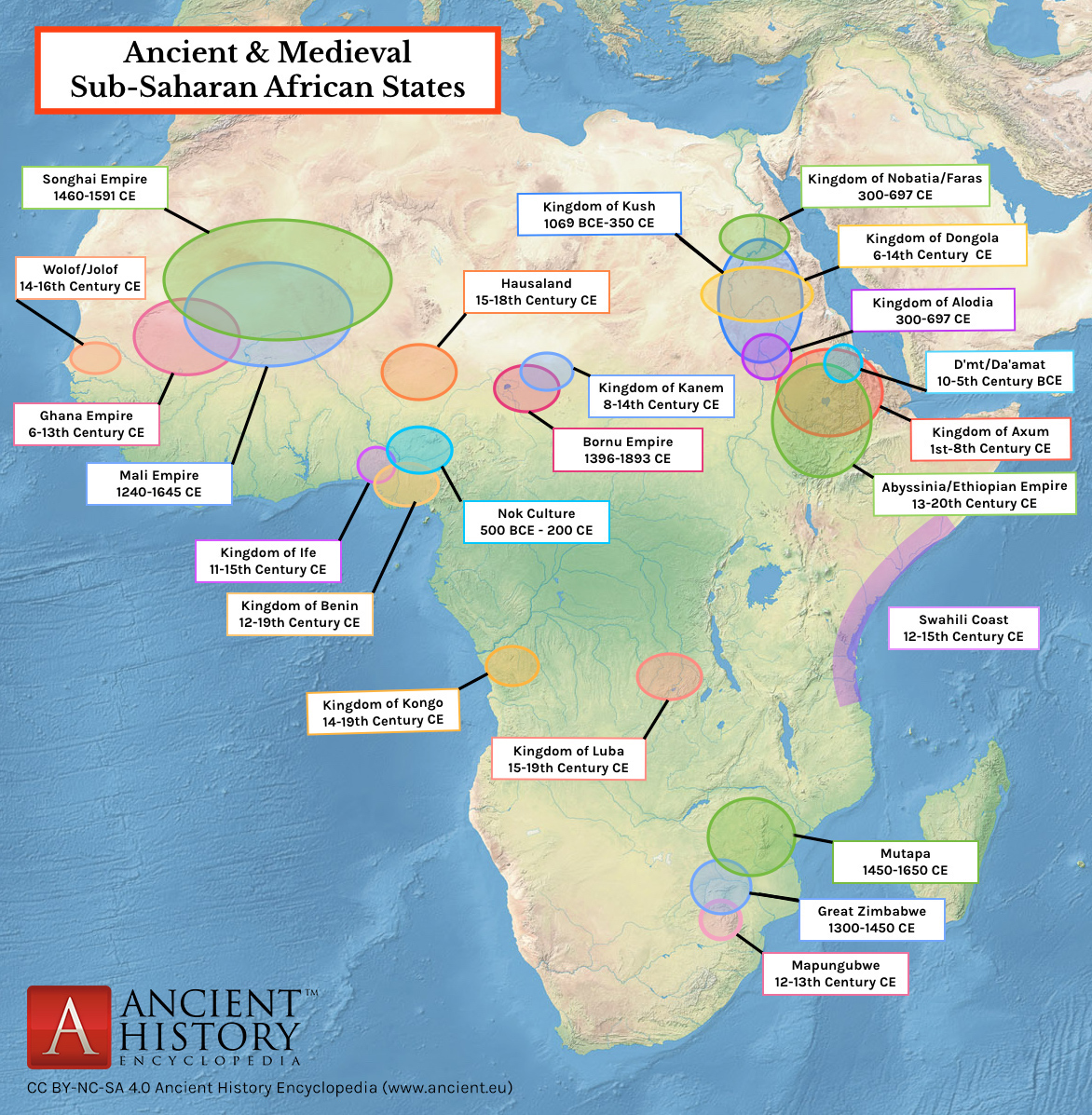
A map indicating the major ancient and medieval states in sub-Saharan Africa. Areas and dates relate to a state at its peak. In addition, shaded areas are approximate indicators only. For the majority of the states, their precise borders are not known or disputed amongst scholars.
Based upon maps from:
The Penguin Atlas of African History
UNESCO General History of Africa Vol. II-V
The Cambridge History of Africa Vol. 1-3
The Cambridge Encyclopedia of Africa
Collins Atlas of World History
About the Author

Related Images
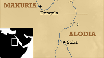
Southern Egypt/Nubia Map

Benin Ivory Hip Pendant Mask
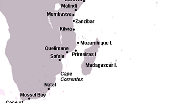
Swahili Coast Map
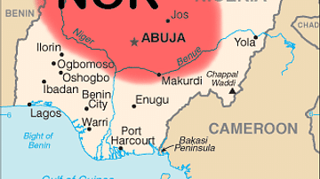
Map of Nok Culture Territory
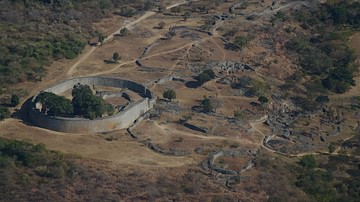
The Great Enclosure, Great Zimbabwe
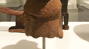
Nok Culture Fragment of a Figure
Cite This Work
APA Style
Cartwright, M. (2019, April 12). Map of Ancient & Medieval Sub-Saharan African States. World History Encyclopedia. Retrieved from https://www.worldhistory.org/image/10453/map-of-ancient--medieval-sub-saharan-african-state/
Chicago Style
Cartwright, Mark. "Map of Ancient & Medieval Sub-Saharan African States." World History Encyclopedia. Last modified April 12, 2019. https://www.worldhistory.org/image/10453/map-of-ancient--medieval-sub-saharan-african-state/.
MLA Style
Cartwright, Mark. "Map of Ancient & Medieval Sub-Saharan African States." World History Encyclopedia. World History Encyclopedia, 12 Apr 2019. Web. 20 Apr 2024.