
Illustration
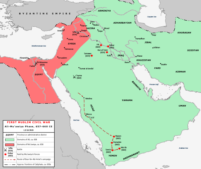
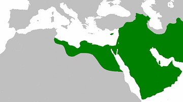
Map of the conflict between Caliph Ali (r. 656-661 CE) and Muawiyah I (r. 661 – 680 CE) during the First Fitna (656 – 661 CE), a civil war within the Rashidun Caliphate. The area shaded in green represents the territories of the Caliphate under Ali's control c. 658; the area in shaded in pink represents Muawiyah I's domains. Major battles, raids, and campaign routes are shown.
License & Copyright
 Based on Wikipedia content that has been reviewed, edited, and republished.
Original image by Al Ameer son. Uploaded by Syed Muhammad Khan, published on 14 December 2019. The copyright holder has published this content under the following license: Creative Commons Attribution-ShareAlike. This license lets others remix, tweak, and build upon a work even for commercial reasons, as long as they credit the author and license their new creations under the identical terms. When republishing on the web a hyperlink back to the original content source URL must be included. Please note that content linked from this page may have different licensing terms.
Based on Wikipedia content that has been reviewed, edited, and republished.
Original image by Al Ameer son. Uploaded by Syed Muhammad Khan, published on 14 December 2019. The copyright holder has published this content under the following license: Creative Commons Attribution-ShareAlike. This license lets others remix, tweak, and build upon a work even for commercial reasons, as long as they credit the author and license their new creations under the identical terms. When republishing on the web a hyperlink back to the original content source URL must be included. Please note that content linked from this page may have different licensing terms.
Related Images
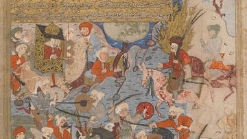
Ali & Aisha at the Battle of the Camel
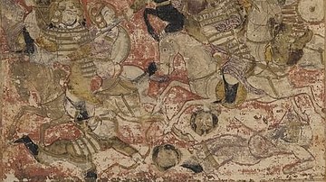
Battle of Siffin
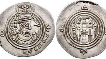
Rashidun-era Islamic Coin
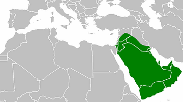
Map of the Rashidun Caliphate
Rashidun Caliphate Under Caliph Abu Bakr
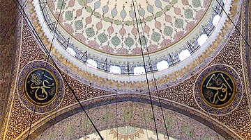
Calligraphic Names of Rashidun Caliphs in Hagia Sophia
Cite This Work
APA Style
son, A. A. (2019, December 14). Map of the First Fitna. World History Encyclopedia. Retrieved from https://www.worldhistory.org/image/11594/map-of-the-first-fitna/
Chicago Style
son, Al Ameer. "Map of the First Fitna." World History Encyclopedia. Last modified December 14, 2019. https://www.worldhistory.org/image/11594/map-of-the-first-fitna/.
MLA Style
son, Al Ameer. "Map of the First Fitna." World History Encyclopedia. World History Encyclopedia, 14 Dec 2019. Web. 19 Apr 2024.