
Illustration
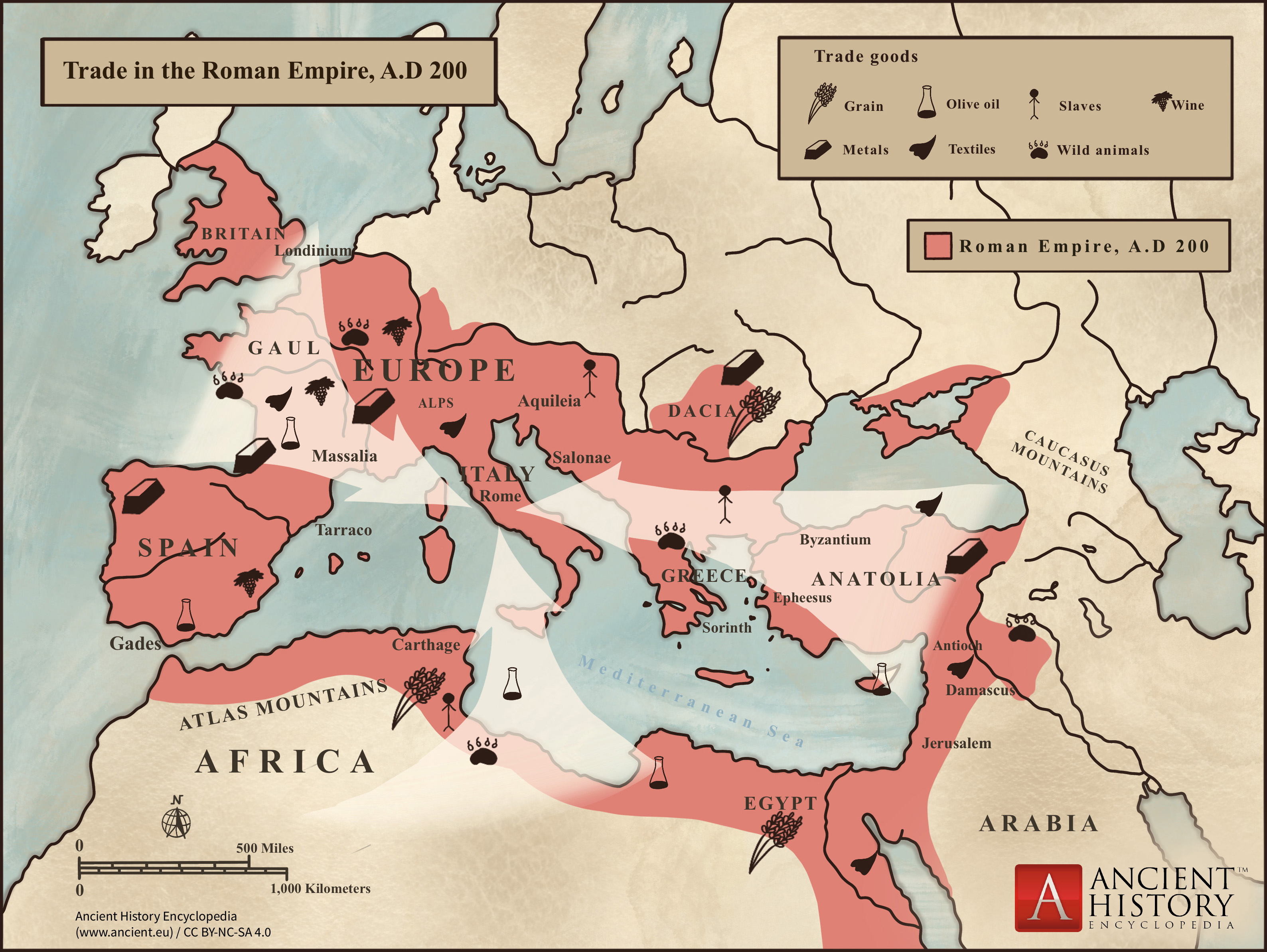
This map shows the major sources of trade goods in the Roman Empire, circa 200 CE. The map shows the sources of the following trade goods: grain, olive oil, slaves, wine, metals, textiles and wild animals.
Related Images
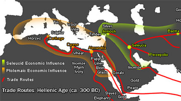
Hellenistic Trade Routes, 300 BCE
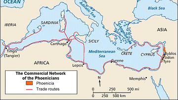
Phoenician Trade Network
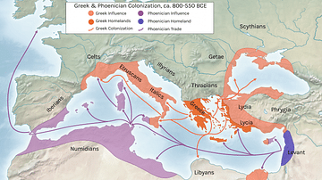
Greek and Phoenician Colonization
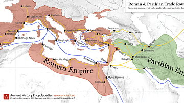
Map of Roman & Parthian Trade Routes
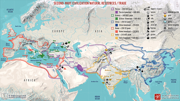
Second-Wave Civilization Natural Resources and Trade
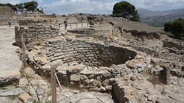
Silo, Phaistos, Crete
Cite This Work
APA Style
Микитюк, К. (2020, January 18). Trade in the Roman Empire Map (c. 200 CE). World History Encyclopedia. Retrieved from https://www.worldhistory.org/image/11717/trade-in-the-roman-empire-map-c-200-ce/
Chicago Style
Микитюк, Карина. "Trade in the Roman Empire Map (c. 200 CE)." World History Encyclopedia. Last modified January 18, 2020. https://www.worldhistory.org/image/11717/trade-in-the-roman-empire-map-c-200-ce/.
MLA Style
Микитюк, Карина. "Trade in the Roman Empire Map (c. 200 CE)." World History Encyclopedia. World History Encyclopedia, 18 Jan 2020. Web. 18 Apr 2024.