
Illustration
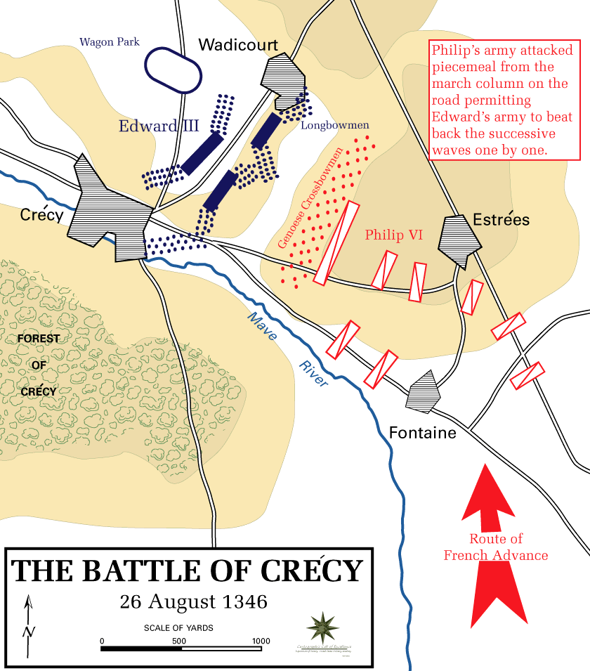
A map indicating the battle lines at the Battle of Crécy in northern France on 26 August 1346 CE between England and France. The English, led by Edward III of England (r. 1327-1377 CE), were victorious in the first major battle of the Hundred Years’ War (1337-1453 CE).
License & Copyright
 Based on Wikipedia content that has been reviewed, edited, and republished.
Original image by westpoint.edu. Uploaded by Mark Cartwright, published on 25 February 2020. The copyright holder has published this content under the following license: Public Domain. This item is in the public domain, and can be used, copied, and modified without any restrictions. Please note that content linked from this page may have different licensing terms.
Based on Wikipedia content that has been reviewed, edited, and republished.
Original image by westpoint.edu. Uploaded by Mark Cartwright, published on 25 February 2020. The copyright holder has published this content under the following license: Public Domain. This item is in the public domain, and can be used, copied, and modified without any restrictions. Please note that content linked from this page may have different licensing terms.
Related Images
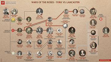
Wars of the Roses - York vs. Lancaster
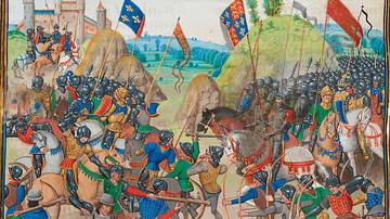
Battle of Crecy, 1346 CE
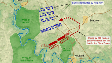
Battle of Poitiers Map
Edward III & Edward the Black Prince

Tomb of Edward the Black Prince

Crécy Window, Gloucester Cathedral
Cite This Work
APA Style
westpoint.edu, . (2020, February 25). Battle of Crécy Map. World History Encyclopedia. Retrieved from https://www.worldhistory.org/image/11939/battle-of-crecy-map/
Chicago Style
westpoint.edu, . "Battle of Crécy Map." World History Encyclopedia. Last modified February 25, 2020. https://www.worldhistory.org/image/11939/battle-of-crecy-map/.
MLA Style
westpoint.edu, . "Battle of Crécy Map." World History Encyclopedia. World History Encyclopedia, 25 Feb 2020. Web. 19 Apr 2024.