
Illustration
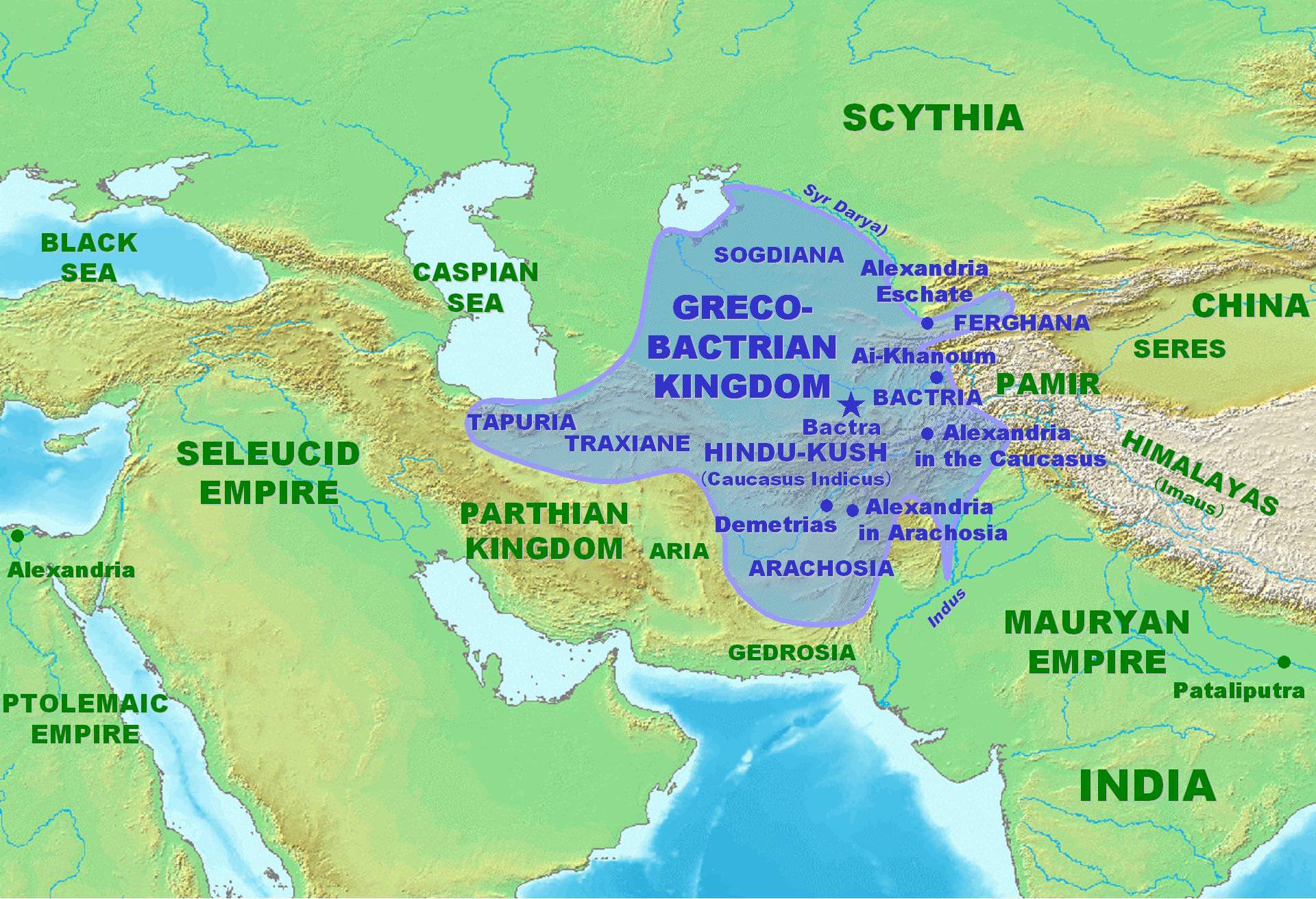
Approximate maximum extent of the Greco-Bactrian kingdom circa 180 BCE, including the regions of Tapuria and Traxiane to the West, Sogdiana and Ferghana to the north, Bactria and Arachosia to the south.
License & Copyright
 Based on Wikipedia content that has been reviewed, edited, and republished.
Original image by PHGCOM. Uploaded by Jan van der Crabben, published on 26 April 2012. The copyright holder has published this content under the following license: Creative Commons Attribution-ShareAlike. This license lets others remix, tweak, and build upon a work even for commercial reasons, as long as they credit the author and license their new creations under the identical terms. When republishing on the web a hyperlink back to the original content source URL must be included. Please note that content linked from this page may have different licensing terms.
Based on Wikipedia content that has been reviewed, edited, and republished.
Original image by PHGCOM. Uploaded by Jan van der Crabben, published on 26 April 2012. The copyright holder has published this content under the following license: Creative Commons Attribution-ShareAlike. This license lets others remix, tweak, and build upon a work even for commercial reasons, as long as they credit the author and license their new creations under the identical terms. When republishing on the web a hyperlink back to the original content source URL must be included. Please note that content linked from this page may have different licensing terms.
Related Images
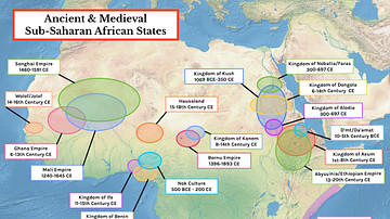
Map of Ancient & Medieval Sub-Saharan African States
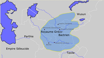
Greco-Bactrian kingdom circa 230-200 BC
Scythians Shooting with Bows
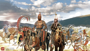
Scythians
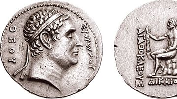
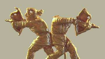
Commemorative coin of Euthydemos from Agathokles of Bactria

Bosporan Soldier
Cite This Work
APA Style
PHGCOM, . (2012, April 26). Map of the Greco-Bactrian Kingdom. World History Encyclopedia. Retrieved from https://www.worldhistory.org/image/162/map-of-the-greco-bactrian-kingdom/
Chicago Style
PHGCOM, . "Map of the Greco-Bactrian Kingdom." World History Encyclopedia. Last modified April 26, 2012. https://www.worldhistory.org/image/162/map-of-the-greco-bactrian-kingdom/.
MLA Style
PHGCOM, . "Map of the Greco-Bactrian Kingdom." World History Encyclopedia. World History Encyclopedia, 26 Apr 2012. Web. 18 Apr 2024.