
License & Copyright
 Based on Wikipedia content that has been reviewed, edited, and republished.
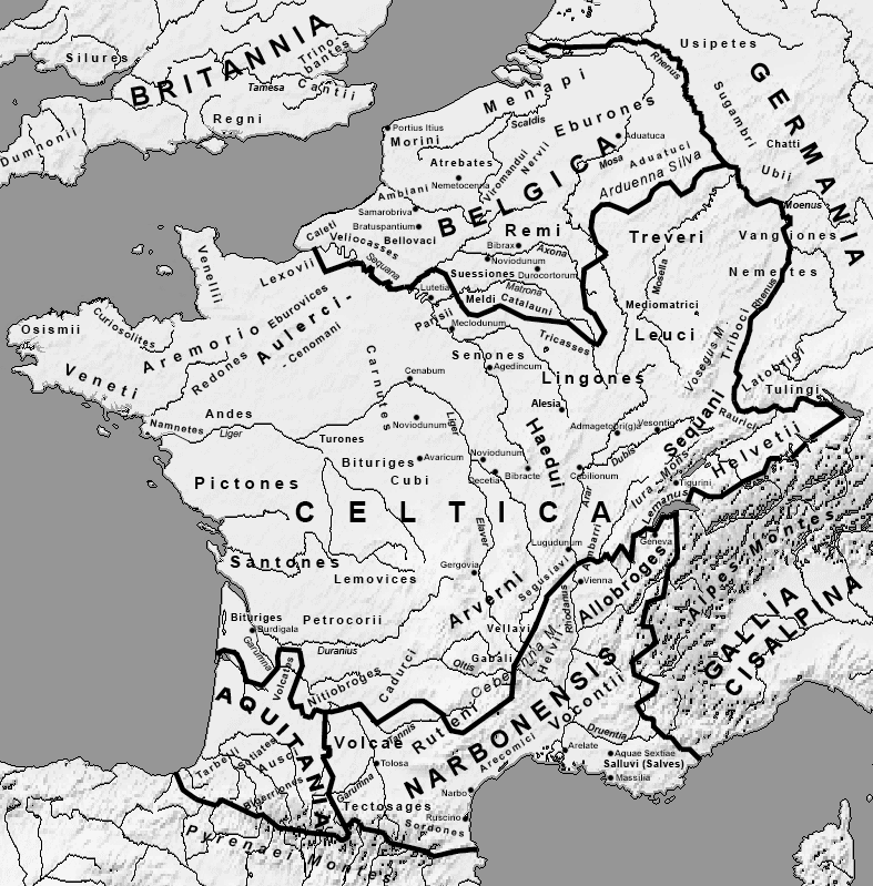
Original image by Feitscherg. Uploaded by Jan van der Crabben, published on 26 April 2012. The copyright holder has published this content under the following license: Creative Commons Attribution-ShareAlike. This license lets others remix, tweak, and build upon a work even for commercial reasons, as long as they credit the author and license their new creations under the identical terms. When republishing on the web a hyperlink back to the original content source URL must be included. Please note that content linked from this page may have different licensing terms.
Based on Wikipedia content that has been reviewed, edited, and republished.
Original image by Feitscherg. Uploaded by Jan van der Crabben, published on 26 April 2012. The copyright holder has published this content under the following license: Creative Commons Attribution-ShareAlike. This license lets others remix, tweak, and build upon a work even for commercial reasons, as long as they credit the author and license their new creations under the identical terms. When republishing on the web a hyperlink back to the original content source URL must be included. Please note that content linked from this page may have different licensing terms.
Related Images
Siege of Alesia
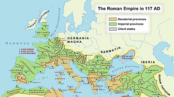
Roman Empire in 117 CE

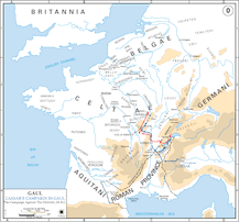
Caesar's Campaign against the Belgae
Caesar's Campaign against the Helvetii
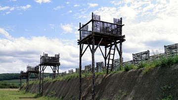
Reconstruction of the Rampart of the Circumvallation, Alesia
Map of Lutetia
Cite This Work
APA Style
Feitscherg, . (2012, April 26). Map of Gaul. World History Encyclopedia. Retrieved from https://www.worldhistory.org/image/343/map-of-gaul/
Chicago Style
Feitscherg, . "Map of Gaul." World History Encyclopedia. Last modified April 26, 2012. https://www.worldhistory.org/image/343/map-of-gaul/.
MLA Style
Feitscherg, . "Map of Gaul." World History Encyclopedia. World History Encyclopedia, 26 Apr 2012. Web. 18 Apr 2024.