
Illustration
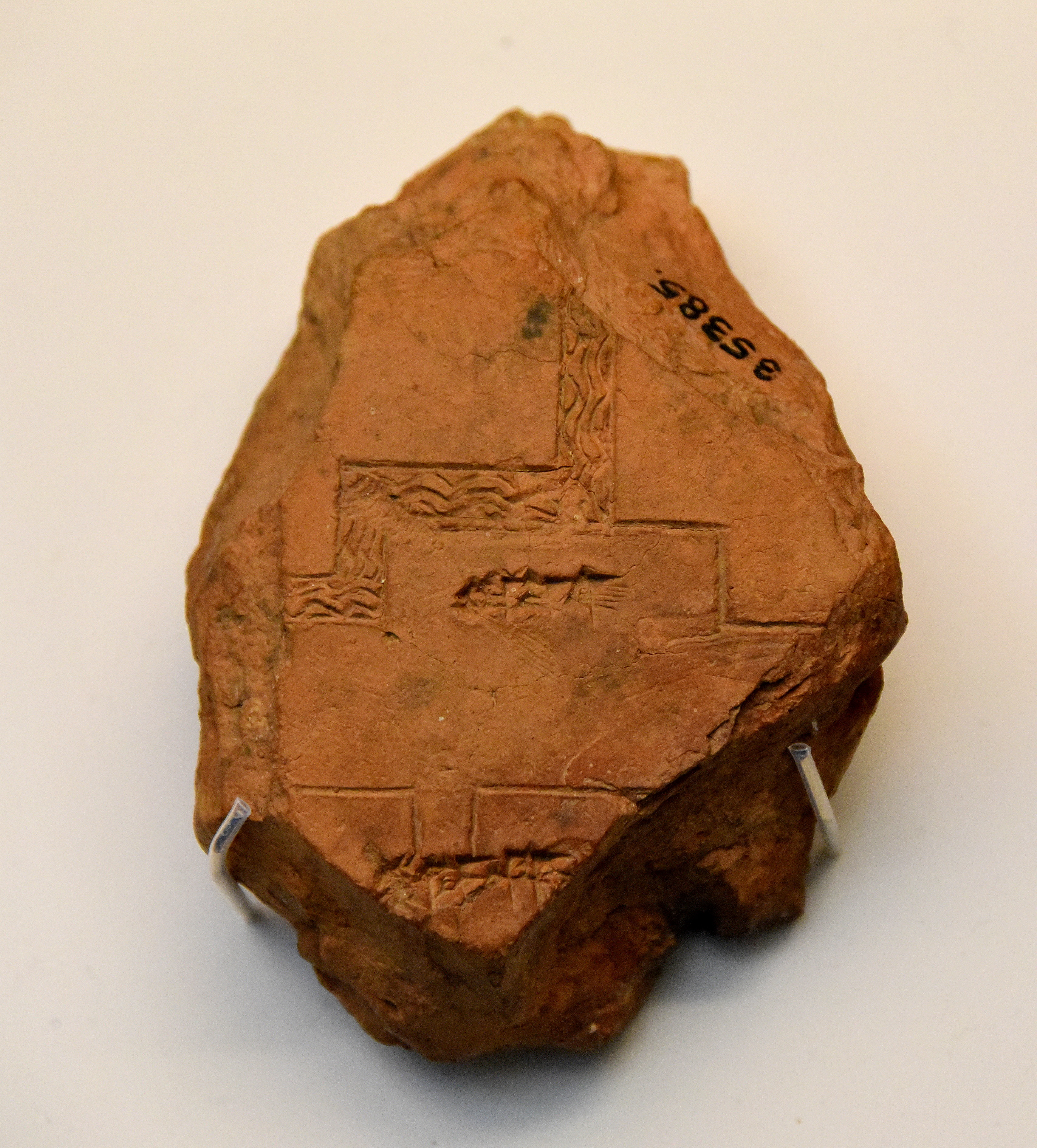
This finely made clay map of Babylon shows the Tuba area in Babylon, two gateways, a section of the city inner wall, and a gateway fed by the Rover Euphrates. The reverse side of the tablet gives accurate measurements for the city walls. Probably from Babylon, Southern Mesopotamia, Iraq. Circa 600-500 BCE. (The British Museum, Iraq)
About the Author

Related Images
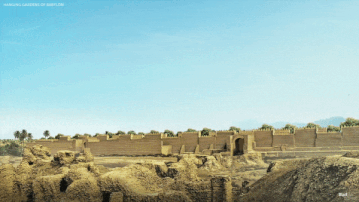
Hanging Gardens of Babylon, Reconstructed
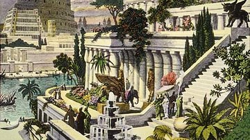
Hanging Gardens of Babylon
Hanging Gardens of Babylon
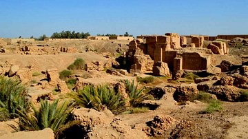
Ruins of the North Palace of Nebuchadnezzar II, Babylon
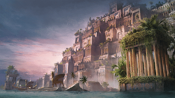
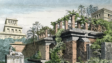
Hanging Gardens (Artist's Impression)
![Lion of Babylon [Detail]](https://www.worldhistory.org/img/c/p/360x202/293.jpg?v=1709047443)
Lion of Babylon [Detail]
Cite This Work
APA Style
Amin, O. S. M. (2016, April 14). Plan of Babylon. World History Encyclopedia. Retrieved from https://www.worldhistory.org/image/4923/plan-of-babylon/
Chicago Style
Amin, Osama Shukir Muhammed. "Plan of Babylon." World History Encyclopedia. Last modified April 14, 2016. https://www.worldhistory.org/image/4923/plan-of-babylon/.
MLA Style
Amin, Osama Shukir Muhammed. "Plan of Babylon." World History Encyclopedia. World History Encyclopedia, 14 Apr 2016. Web. 19 Apr 2024.