
Illustration
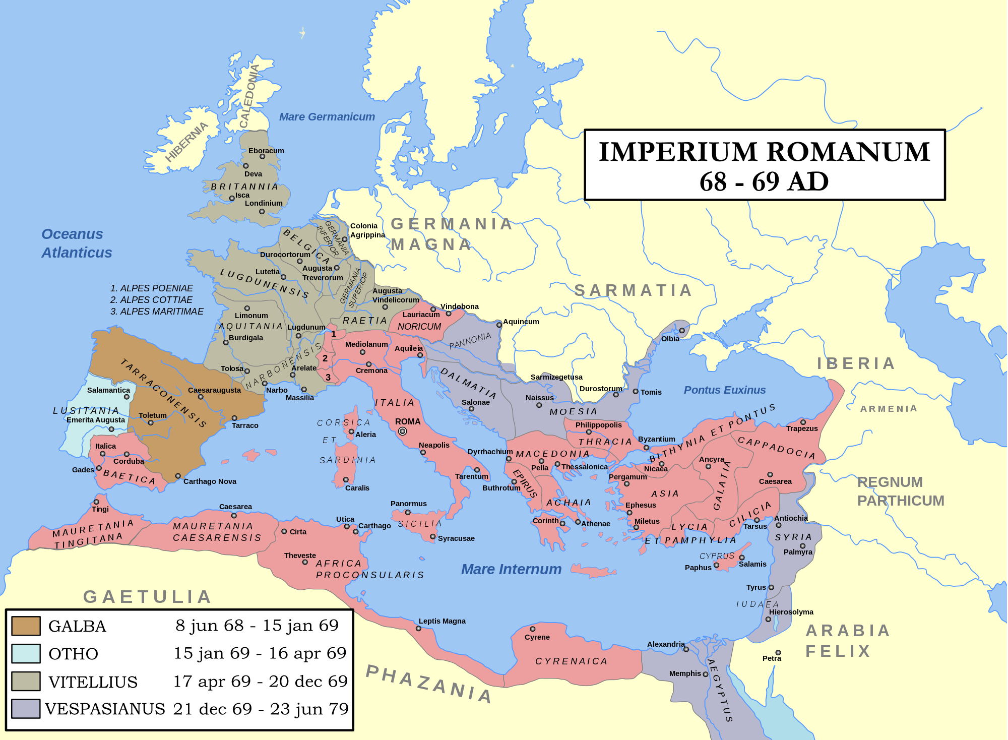
Map of the Roman Empire during 69AD, the Year of the Four Emperors. Coloured areas indicate provinces loyal to one of four warring generals.
License & Copyright
 Based on Wikipedia content that has been reviewed, edited, and republished.
Original image by Andrei Nacu & Steerpike. Uploaded by Jan van der Crabben, published on 26 April 2012. The copyright holder has published this content under the following license: Creative Commons Attribution-ShareAlike. This license lets others remix, tweak, and build upon a work even for commercial reasons, as long as they credit the author and license their new creations under the identical terms. When republishing on the web a hyperlink back to the original content source URL must be included. Please note that content linked from this page may have different licensing terms.
Based on Wikipedia content that has been reviewed, edited, and republished.
Original image by Andrei Nacu & Steerpike. Uploaded by Jan van der Crabben, published on 26 April 2012. The copyright holder has published this content under the following license: Creative Commons Attribution-ShareAlike. This license lets others remix, tweak, and build upon a work even for commercial reasons, as long as they credit the author and license their new creations under the identical terms. When republishing on the web a hyperlink back to the original content source URL must be included. Please note that content linked from this page may have different licensing terms.
Related Images
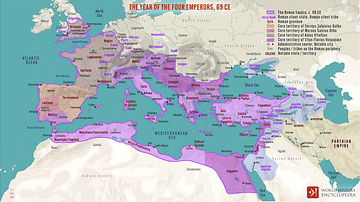
The Year of the Four Emperors, 69 CE
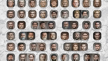
Facial Reconstructions of Roman Emperors
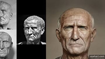
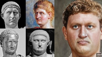
Galba (Facial Reconstruction)
Otho (Facial Reconstruction)
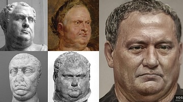
Vitellius (Facial Reconstruction)
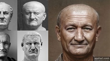
Vespasian (Facial Reconstruction)
Cite This Work
APA Style
Steerpike, A. N. &. (2012, April 26). Map: Year of the Four Emperors. World History Encyclopedia. Retrieved from https://www.worldhistory.org/image/548/map-year-of-the-four-emperors/
Chicago Style
Steerpike, Andrei Nacu &. "Map: Year of the Four Emperors." World History Encyclopedia. Last modified April 26, 2012. https://www.worldhistory.org/image/548/map-year-of-the-four-emperors/.
MLA Style
Steerpike, Andrei Nacu &. "Map: Year of the Four Emperors." World History Encyclopedia. World History Encyclopedia, 26 Apr 2012. Web. 17 Apr 2024.