
Illustration
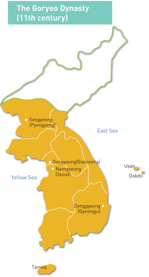
A map of the territory controlled by the Goryeo Dynasty of Korea in the 11th century CE. The Goryeo reigned from 918 to 1392 CE.
License & Copyright
_(4261809614).jpg) Based on Wikipedia content that has been reviewed, edited, and republished.
Original image by Korean Culture & Information Service. Uploaded by Mark Cartwright, published on 07 September 2016. The copyright holder has published this content under the following license: Creative Commons Attribution-ShareAlike. This license lets others remix, tweak, and build upon a work even for commercial reasons, as long as they credit the author and license their new creations under the identical terms. When republishing on the web a hyperlink back to the original content source URL must be included. Please note that content linked from this page may have different licensing terms.
Based on Wikipedia content that has been reviewed, edited, and republished.
Original image by Korean Culture & Information Service. Uploaded by Mark Cartwright, published on 07 September 2016. The copyright holder has published this content under the following license: Creative Commons Attribution-ShareAlike. This license lets others remix, tweak, and build upon a work even for commercial reasons, as long as they credit the author and license their new creations under the identical terms. When republishing on the web a hyperlink back to the original content source URL must be included. Please note that content linked from this page may have different licensing terms.
Related Images
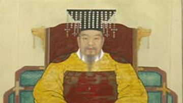
Taejo of Goryeo (Wang Geon)
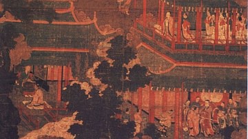
Goryeo Palace Painting
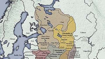
11th century CE Kievan Rus Territories
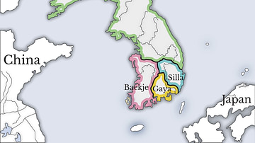
Three Kingdoms of Korea Map
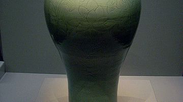
Maebyeong Celadon Vase, Goryeo Dynasty
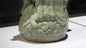
Taoist Figure Celadon Pitcher, Goryeo Dynasty
Cite This Work
APA Style
Service, K. C. &. I. (2016, September 07). Map of the Goryeo Empire (11th century CE). World History Encyclopedia. Retrieved from https://www.worldhistory.org/image/5609/map-of-the-goryeo-empire-11th-century-ce/
Chicago Style
Service, Korean Culture & Information. "Map of the Goryeo Empire (11th century CE)." World History Encyclopedia. Last modified September 07, 2016. https://www.worldhistory.org/image/5609/map-of-the-goryeo-empire-11th-century-ce/.
MLA Style
Service, Korean Culture & Information. "Map of the Goryeo Empire (11th century CE)." World History Encyclopedia. World History Encyclopedia, 07 Sep 2016. Web. 16 Apr 2024.