
Illustration
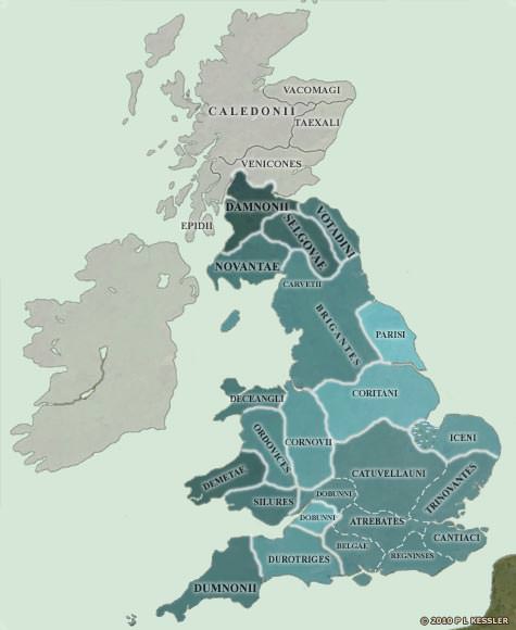
On the eve of the Roman Conquest, the south-east was dominated completely by the Catuvellauni. They, if any, could claim the legendary High Kingship of Britain.
As well as having conquered the Cantiaci, the Trinovantes, and the Atrebates and their subsidiary branch, the Belgae (the Regninses may not have borne a separate identity until after the Conquest), the Dobunni tribe also seem to have developed a north-south divide thanks to their powerful neighbours.
The northern half was being heavily influenced by the Catuvellauni, while the southern half was clearly trying to retain some level of independence. But for the invasion, it was an independence which was unlikely to last.
One wonders how long it would have been before Britain was formed of just three kingdoms: the dominating Catuvellauni; the Welsh-based tribes, having formed an alliance of necessity in the face of the threat; and the Brigantes uniting and ruling the north.
It may have taken another century but the evidence suggests that it was a possibility. However, the Romans were coming...
Related Images
Map of the British Isles in AD 10
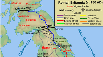
Map of Roman Britain, 150 AD
Map of the British Isles in 54 BC
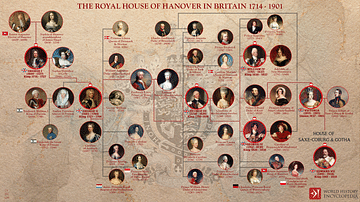
Royal House of Hanover in Britain Family Tree
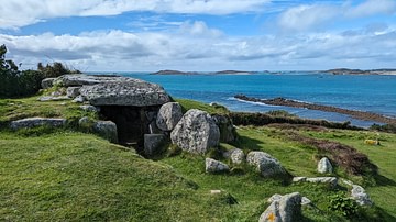
Bant's Carn Entrance Grave

Queen Boudicca
Cite This Work
APA Style
Kessler, P. L. (2012, July 06). Map of the British Isles in AD 43. World History Encyclopedia. Retrieved from https://www.worldhistory.org/image/742/map-of-the-british-isles-in-ad-43/
Chicago Style
Kessler, P L. "Map of the British Isles in AD 43." World History Encyclopedia. Last modified July 06, 2012. https://www.worldhistory.org/image/742/map-of-the-british-isles-in-ad-43/.
MLA Style
Kessler, P L. "Map of the British Isles in AD 43." World History Encyclopedia. World History Encyclopedia, 06 Jul 2012. Web. 18 Apr 2024.