
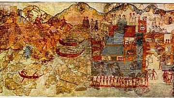
Illustration
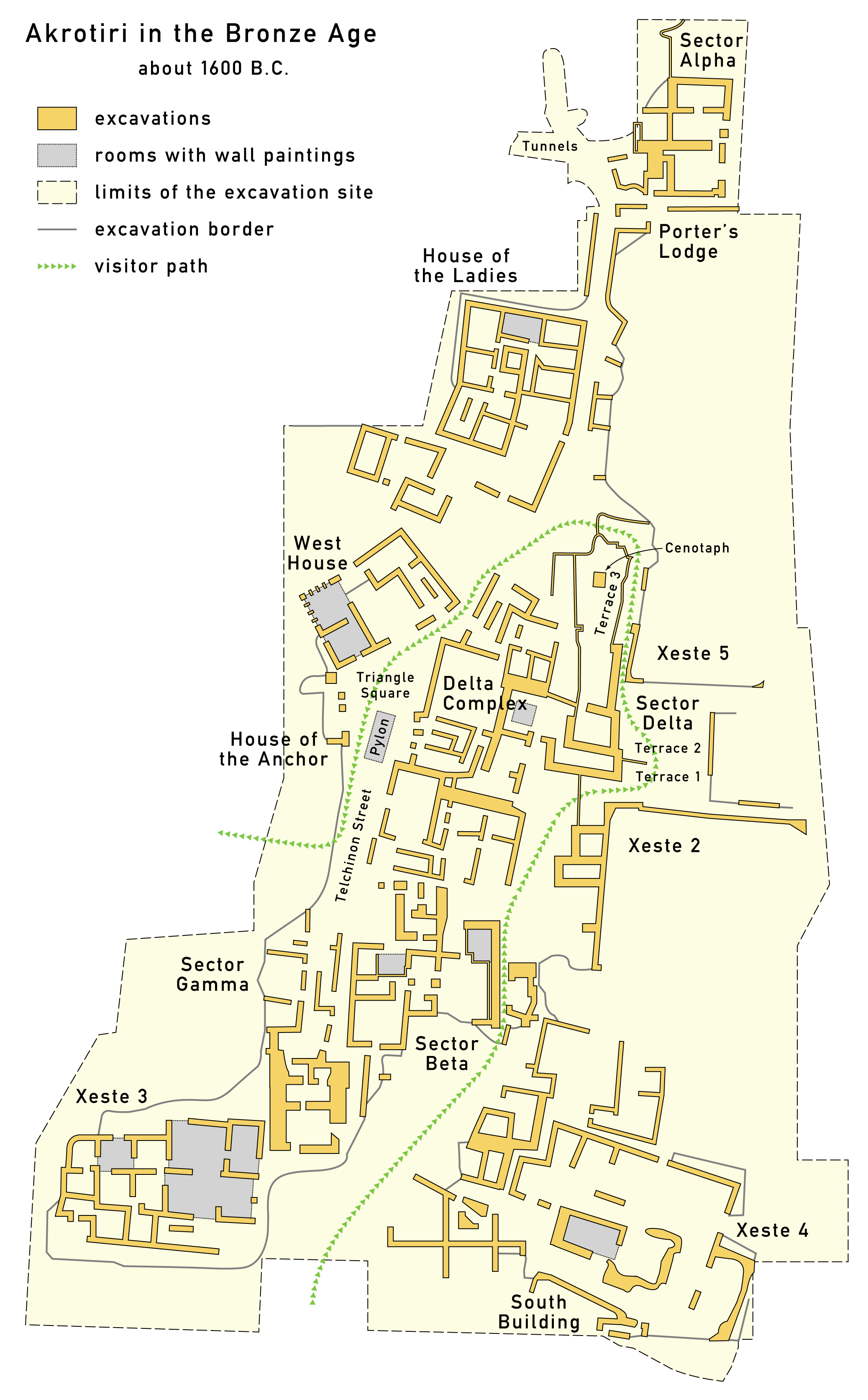
Map of Akrotiri in the Bronze Age, ca. 1600 BC.
License & Copyright
 Based on Wikipedia content that has been reviewed, edited, and republished.
Original image by Maximilian Dörrbecker. Uploaded by Jan van der Crabben, published on 07 July 2012. The copyright holder has published this content under the following license: Creative Commons Attribution-ShareAlike. This license lets others remix, tweak, and build upon a work even for commercial reasons, as long as they credit the author and license their new creations under the identical terms. When republishing on the web a hyperlink back to the original content source URL must be included. Please note that content linked from this page may have different licensing terms.
Based on Wikipedia content that has been reviewed, edited, and republished.
Original image by Maximilian Dörrbecker. Uploaded by Jan van der Crabben, published on 07 July 2012. The copyright holder has published this content under the following license: Creative Commons Attribution-ShareAlike. This license lets others remix, tweak, and build upon a work even for commercial reasons, as long as they credit the author and license their new creations under the identical terms. When republishing on the web a hyperlink back to the original content source URL must be included. Please note that content linked from this page may have different licensing terms.
Related Images
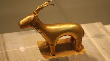
Gold Ibex, Akrotiri

Wall-Painting, Akrotiri
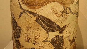
Dolphin Decorated Pithoi, Akrotiri
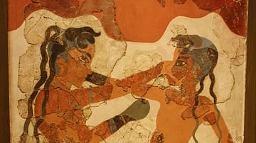
Boxers Fresco, Akrotiri, Thera
Ship Procession Fresco, Akrotiri
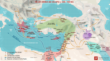
The Late Bronze Age Collapse c. 1200 - 1150 BCE
References
- Akrotiri on TheraAccessed 1 Dec 2016.
- Akrotiri on TheraAccessed 1 Dec 2016.
- Santorini ancient Greece : excavations mapAccessed 1 Dec 2016.
- http://appearfr.english-heritage.org.uk/photos/448.jpgAccessed 1 Dec 2016.
- http://www.therafoundation.org/akrotiri/mapAccessed 1 Dec 2016.
Cite This Work
APA Style
Dörrbecker, M. (2012, July 07). Map of Bronze Age Akrotiri. World History Encyclopedia. Retrieved from https://www.worldhistory.org/image/754/map-of-bronze-age-akrotiri/
Chicago Style
Dörrbecker, Maximilian. "Map of Bronze Age Akrotiri." World History Encyclopedia. Last modified July 07, 2012. https://www.worldhistory.org/image/754/map-of-bronze-age-akrotiri/.
MLA Style
Dörrbecker, Maximilian. "Map of Bronze Age Akrotiri." World History Encyclopedia. World History Encyclopedia, 07 Jul 2012. Web. 19 Apr 2024.