
Related Images
Image
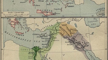
Mycenean Greece and the Orient about 1450 BC
Mycenean Greece and the Orient about 1450 BC. Inset: Reference...
Image
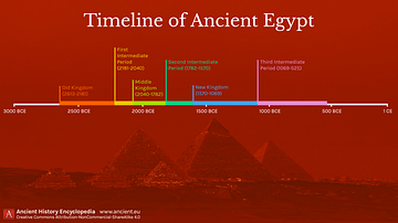
Timeline of Ancient Egypt
A timeline showing all the key periods in ancient Egyptian history...
Image
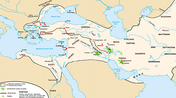
Achaemenid Empire Map
Map of the Persian Achaemenid Empire at its greatest extent under...
Image
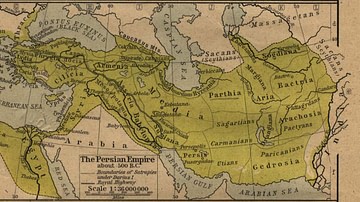
The Persian Empire
The Persian Empire about 500 BC.
References
- File:Median Empire.jpg - Wikipedia, the free encyclopediaAccessed 1 Dec 2016.
Cite This Work
APA Style
Collection, P. M. (2012, April 26). The Oriental Empires. World History Encyclopedia. Retrieved from https://www.worldhistory.org/image/76/the-oriental-empires/
Chicago Style
Collection, PCL Map. "The Oriental Empires." World History Encyclopedia. Last modified April 26, 2012. https://www.worldhistory.org/image/76/the-oriental-empires/.
MLA Style
Collection, PCL Map. "The Oriental Empires." World History Encyclopedia. World History Encyclopedia, 26 Apr 2012. Web. 19 Apr 2024.