
Illustration
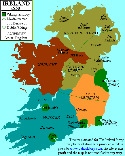
Map of Ireland around 950 CE, showing both the local Irish kingdoms and the Viking territories. Map credited to www.irelandhistory.com
License & Copyright
 Based on Wikipedia content that has been reviewed, edited, and republished.
Original image by Threewolves. Uploaded by Emma Groeneveld, published on 08 December 2017. The copyright holder has published this content under the following license: Public Domain. This item is in the public domain, and can be used, copied, and modified without any restrictions. Please note that content linked from this page may have different licensing terms.
Based on Wikipedia content that has been reviewed, edited, and republished.
Original image by Threewolves. Uploaded by Emma Groeneveld, published on 08 December 2017. The copyright holder has published this content under the following license: Public Domain. This item is in the public domain, and can be used, copied, and modified without any restrictions. Please note that content linked from this page may have different licensing terms.
Related Images
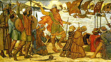
The Vikings in Dublin.
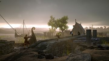
Viking Attack
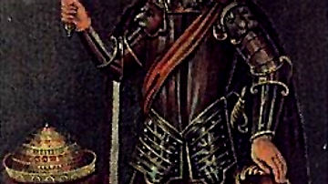
Brian Boru
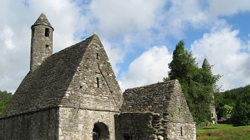
St. Kevin's Church, Glendalough
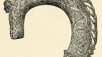
Clonmacnoise Crosier
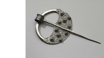
Celtic-Viking penannular brooch
Cite This Work
APA Style
Threewolves, . (2017, December 08). Map of Ireland c. 950 CE. World History Encyclopedia. Retrieved from https://www.worldhistory.org/image/7748/map-of-ireland-c-950-ce/
Chicago Style
Threewolves, . "Map of Ireland c. 950 CE." World History Encyclopedia. Last modified December 08, 2017. https://www.worldhistory.org/image/7748/map-of-ireland-c-950-ce/.
MLA Style
Threewolves, . "Map of Ireland c. 950 CE." World History Encyclopedia. World History Encyclopedia, 08 Dec 2017. Web. 22 Apr 2024.