
Illustration
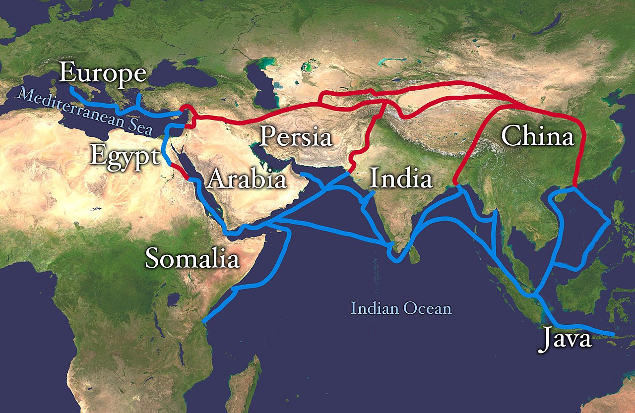
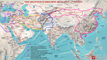
This map indicates trading routes used around the 1st century CE centred on the Silk Road. The routes remain largely valid for the period 500 BCE to 500 CE.
License & Copyright
 Based on Wikipedia content that has been reviewed, edited, and republished.
Original image by Whole World Land And Oceans. Uploaded by Mark Cartwright, published on 15 March 2018. The copyright holder has published this content under the following license: Public Domain. This item is in the public domain, and can be used, copied, and modified without any restrictions. Please note that content linked from this page may have different licensing terms.
Based on Wikipedia content that has been reviewed, edited, and republished.
Original image by Whole World Land And Oceans. Uploaded by Mark Cartwright, published on 15 March 2018. The copyright holder has published this content under the following license: Public Domain. This item is in the public domain, and can be used, copied, and modified without any restrictions. Please note that content linked from this page may have different licensing terms.
Related Images
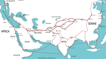
The Silk Road
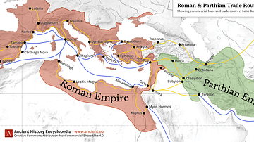
Map of Roman & Parthian Trade Routes
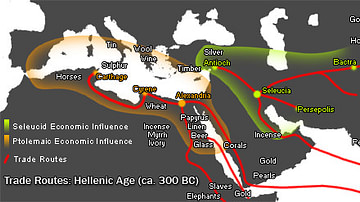
Hellenistic Trade Routes, 300 BCE
Trade Links between the Roman Empire and the East (1st - 3rd centuries)
Trade Networks in the Middle Ages, c. 1200
Movement of "Tea" & "Cha" Around the Globe
Cite This Work
APA Style
Oceans, W. W. L. A. (2018, March 15). Map of the Silk Road Routes. World History Encyclopedia. Retrieved from https://www.worldhistory.org/image/8327/map-of-the-silk-road-routes/
Chicago Style
Oceans, Whole World Land And. "Map of the Silk Road Routes." World History Encyclopedia. Last modified March 15, 2018. https://www.worldhistory.org/image/8327/map-of-the-silk-road-routes/.
MLA Style
Oceans, Whole World Land And. "Map of the Silk Road Routes." World History Encyclopedia. World History Encyclopedia, 15 Mar 2018. Web. 22 Apr 2024.