
Illustration
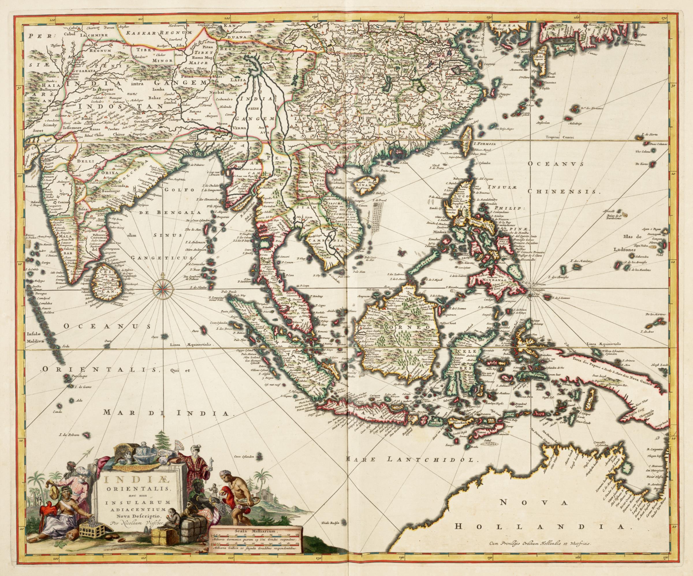
Map of East India, taken from the Atlas van der Hagen, Koninklijke Bibliotheek, The Hague Part 4. This map of South East Asia was published by Nicolaas Visscher II (1649-1702). The map shows the entire trading region of the Dutch East India Company (VOC). (Royal Library of the Netherlands, The Hague)
License & Copyright
 Based on Wikipedia content that has been reviewed, edited, and republished.
Original image by Nicolaas Visscher II Koninklijke Bibliotheek. Uploaded by Kim Martins, published on 29 October 2023. The copyright holder has published this content under the following license: Public Domain. This item is in the public domain, and can be used, copied, and modified without any restrictions. Please note that content linked from this page may have different licensing terms.
Based on Wikipedia content that has been reviewed, edited, and republished.
Original image by Nicolaas Visscher II Koninklijke Bibliotheek. Uploaded by Kim Martins, published on 29 October 2023. The copyright holder has published this content under the following license: Public Domain. This item is in the public domain, and can be used, copied, and modified without any restrictions. Please note that content linked from this page may have different licensing terms.
Related Images
Karum Ruins
Kültepe Ruins
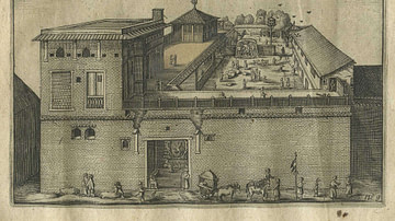
Dutch East India Company's Warehouse and Living Quarters

Replica of Halve Maen

Jan Pieterszoon Coen

Dutch East India Company Coinage
Cite This Work
APA Style
Bibliotheek, N. V. I. . K. (2023, October 29). Dutch East India Company Trading Regions. World History Encyclopedia. Retrieved from https://www.worldhistory.org/image/18075/dutch-east-india-company-trading-regions/
Chicago Style
Bibliotheek, Nicolaas Visscher II Koninklijke. "Dutch East India Company Trading Regions." World History Encyclopedia. Last modified October 29, 2023. https://www.worldhistory.org/image/18075/dutch-east-india-company-trading-regions/.
MLA Style
Bibliotheek, Nicolaas Visscher II Koninklijke. "Dutch East India Company Trading Regions." World History Encyclopedia. World History Encyclopedia, 29 Oct 2023. Web. 27 Apr 2024.