
Illustration
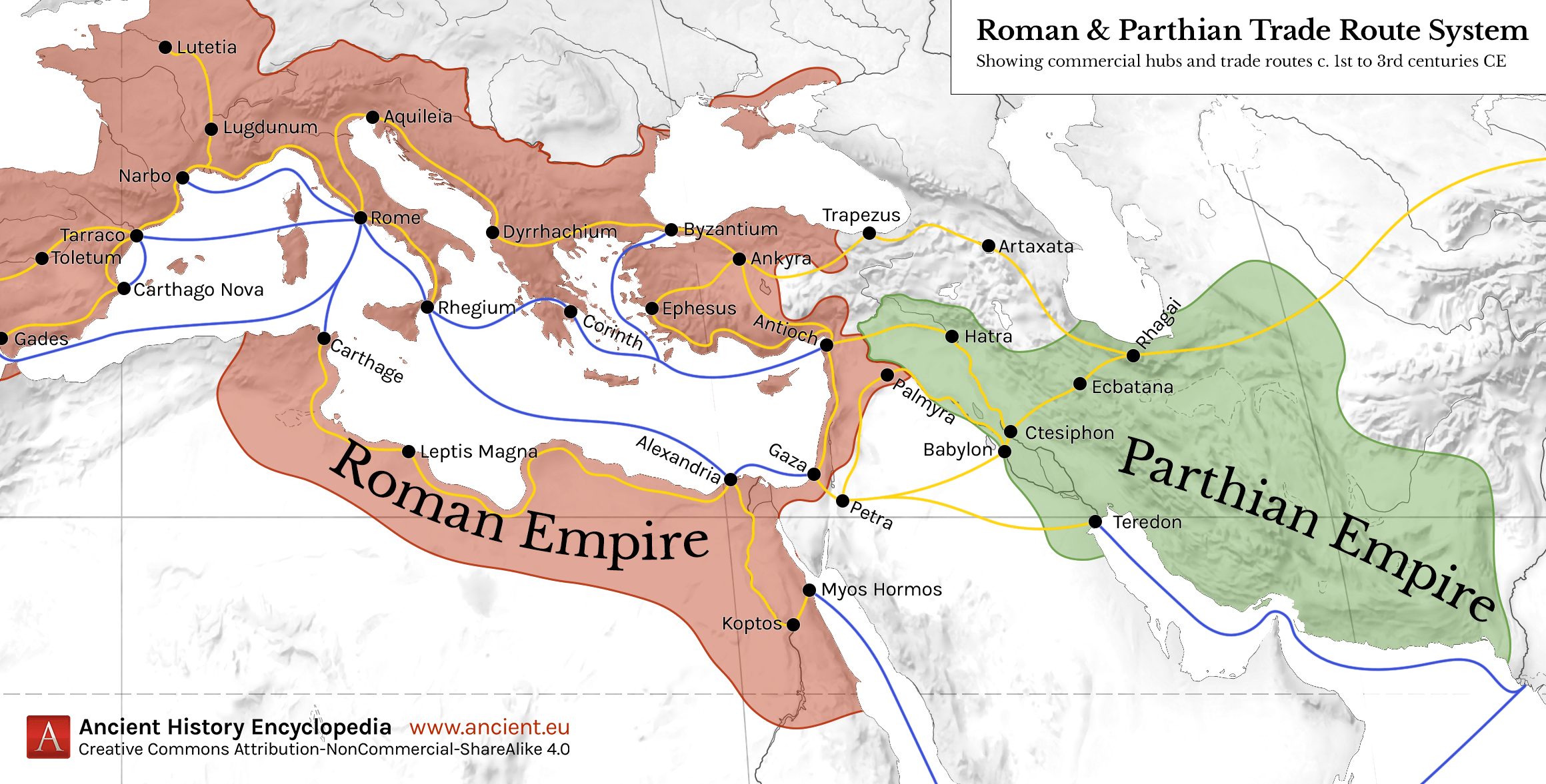
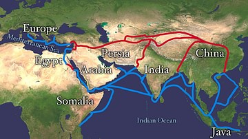
This map shows the Roman-Parthian trade route system, circa between the 1st and the 3rd centuries CE. During this period, the Roman Empire and the Parthian Empire were the two superpowers of the region and the Roman-Parthian trade system played a key role in the geopolitics of the time. Maritime trade routes are shown in blue, while land trade routes are shown in orange.
Please note that this map does not show all trade routes, only the most important ones are represented.
About the Author

Related Images
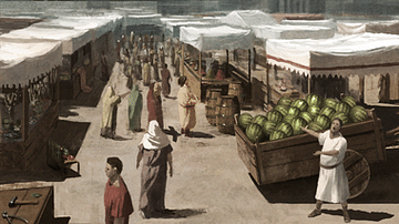
Market Scene
Transatlantic Triangular Trade Map
The Silk Road
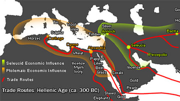
Hellenistic Trade Routes, 300 BCE
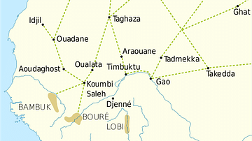
Trans-Saharan Trade Routes
Map of the Silk Road Routes
References
World History Encyclopedia is an Amazon Associate and earns a commission on qualifying book purchases.Cite This Work
APA Style
Crabben, J. v. d. (2020, January 22). Map of Roman & Parthian Trade Routes. World History Encyclopedia. Retrieved from https://www.worldhistory.org/image/11763/map-of-roman--parthian-trade-routes/
Chicago Style
Crabben, Jan van der. "Map of Roman & Parthian Trade Routes." World History Encyclopedia. Last modified January 22, 2020. https://www.worldhistory.org/image/11763/map-of-roman--parthian-trade-routes/.
MLA Style
Crabben, Jan van der. "Map of Roman & Parthian Trade Routes." World History Encyclopedia. World History Encyclopedia, 22 Jan 2020. Web. 25 Apr 2024.